A dangerous combination of powerful winds, critically low humidity, and unseasonably warm temperatures has triggered Red Flag Warnings and Fire Weather Watches across parts of Colorado, New Mexico, and Nebraska, signaling a high risk for rapidly spreading wildfires over the next several days.
Colorado Faces Critical Fire Conditions
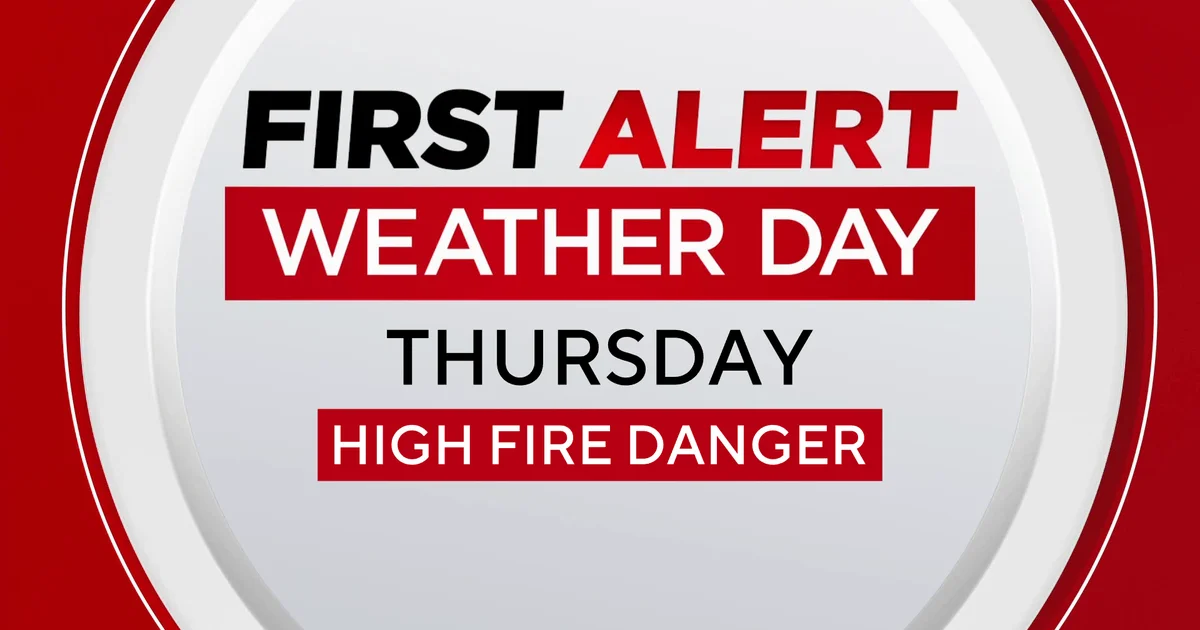
Colorado is experiencing a First Alert Weather Day as critical fire weather conditions return, particularly impacting the Denver metro area and regions near the Front Range foothills. Forecasters predict intense winds will persist for at least three days, extending from the foothills across the eastern plains and into the San Luis Valley.
A Red Flag Warning is in effect for Thursday from 11 AM to 9 PM, covering the Front Range Foothills, the entire Denver metro area, and most of the eastern plains. Wind gusts west of I-25 could hit 65 to 75 mph. These high winds, coupled with temperatures in the 70s and humidity levels as low as 13%, create prime conditions for wildfires to ignite and spread quickly.
And it's not just fire danger. Higher elevations in the Front Range mountains are also under a High Wind Warning for Thursday, with gusts potentially reaching 80 to 100 mph. Strong winds will likely continue into Friday and Saturday, keeping the region on edge.
Looking ahead, Fire Weather Watches have been issued for Friday, also from 11 AM to 9 PM. Sustained winds of 30-40 mph are expected. Gusts could reach up to 70 mph across the Northern plains and areas west of I-25, while east of I-25, gusts might hit 50 mph. These persistent, powerful winds mean any spark could turn into a major incident.
New Mexico Braces for Record Heat and Wind
New Mexico is also contending with persistently breezy and windy conditions, alongside a significant warming trend that is expected to bring record-breaking high temperatures. Thursday morning saw cooler temperatures in the 30s, but afternoons are trending much warmer, with Friday and Saturday projected to break records across the state.
Fire Weather Warnings are active for parts of Eastern New Mexico, specifically the east-central section of the state stretching from Moriarty eastward into West Texas. This warning runs from noon to 8 PM on Thursday. Breezes are strongest in this region, with many gusts exceeding 30 mph.
Friday will see temperatures jump another 5 to 10 degrees higher than Thursday's already warm readings. Southern New Mexico could see highs climb into the mid to upper 80s, approaching record levels. Northwestern breezes will still be a factor, with the Moriarty area and the I-40 corridor possibly facing more Fire Weather Warnings by Friday afternoon.
The weekend brings even more intense conditions. Saturday is expected to be another step up temperature-wise, with many New Mexico cities and communities experiencing record-breaking highs. Winds will also strengthen, with many areas gusting 25 to 35 mph, raising additional fire danger concerns. On Sunday, a cold front will sweep through, bringing no moisture but delivering powerful, damaging wind gusts above 60 mph to northern and northeastern New Mexico during the morning. Afternoon gusts will still range from 30 to 50 mph in the strongest locations. These winds, combined with dry fuels, mean the fire threat remains high.
Nebraska Faces Shifting Threats
In Nebraska, gusty winds continue to pose a serious fire threat, especially through Thursday evening and overnight. A Red Flag Warning remains in effect, driven by strong winds and low humidity that create dangerous conditions for wildfires. Gusts are expected to reach 50 to 60 mph in some areas.
Authorities have already reported fires this afternoon, and more are possible given the current environment. Officials are strongly advising against any outdoor burning, emphasizing that even small sparks can rapidly escalate into dangerous blazes under these conditions.
Nebraska's weather also features dramatic temperature swings. After a brief warmup on Thursday with highs in the 60s and 70s, temperatures will drop significantly on Friday, with highs settling into the mid-40s to mid-60s as cooler air moves in. Colder conditions are set to return on Sunday, bringing the possibility of wintry weather.
A Weather Alert Day has been declared for Sunday due to a storm system moving through the area. While heavy snowfall isn't expected, the combination of gusty winds and any falling precipitation could lead to poor visibility and hazardous travel conditions. But don't get too comfortable with the cold; temperatures are forecast to rebound sharply by late next week, with highs potentially hitting 80 degrees by next Thursday, after Monday morning lows near the single digits. This volatile weather pattern keeps fire agencies on high alert.
Related Articles
- Olivia Rodrigo Teases Third Album Amid Star-Studded Charity Project
- US Dispatches Amphibious Assault Ship USS Tripoli, 2,500 Marines to Middle East Amid Iran War
- Austin Wells' Walk-Off Homer Propels Dominican Republic to WBC Semifinals, Ties Home Run Record
The multi-state threat underscores the critical need for residents to remain vigilant, adhere to all local burn bans, and be prepared for rapidly changing weather conditions and potential wildfire emergencies over the coming days.