A powerful mix of severe weather is currently battering large parts of the United States, bringing heavy snow, damaging winds, and floods, all while forecasters warn of a potential El Niño event forming in the coming months that could reshape global weather patterns.
Current Weather Turmoil Across the Nation
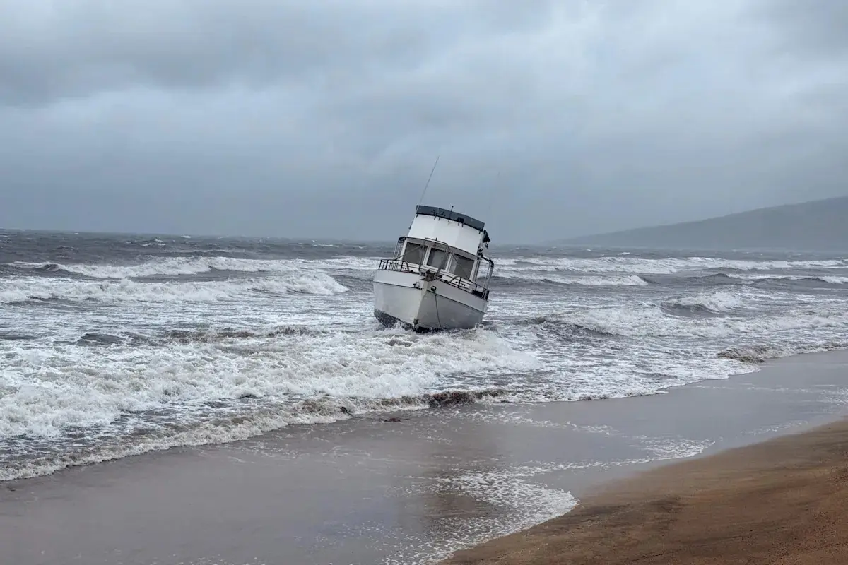
Before the potential onset of El Niño, the United States has been grappling with an unusually active and destructive period of severe weather. From record-breaking snowfall and blizzards in the Midwest and Northeast to devastating atmospheric rivers unleashing torrential rain and mudslides across California, the nation has experienced a wide spectrum of extreme conditions. Parts of the South have also contended with unusually persistent tornado outbreaks and flash flooding. Communities are getting hammered—infrastructure's damaged, crops are failing, and the power's out. It's a stark reminder of how unprepared we still are for extreme weather. Scientists can't pin any single storm on climate change, but the sheer number and power of these events? That matches what we'd expect from a warming planet.
El Niño on the Horizon
Growing indications suggest that El Niño could develop and strengthen significantly over the next few months, potentially disrupting global weather. When the tropical Pacific warms up like this, it messes with hurricane patterns and pushes global temperatures higher—basically guaranteeing another scorching year. ENSO—that's El Niño, La Niña, or neutral conditions—is basically the biggest thing controlling how our climate swings from year to year. The current shift from a prolonged La Niña phase, which typically brings drier conditions to parts of the southern U.S. and an active Atlantic hurricane season, to an El Niño event marks a major atmospheric and oceanic realignment.
Right now, warm water's creeping eastward beneath the surface—what scientists call a Kelvin wave. It's basically heat waiting to explode and warm up the eastern Pacific. NOAA and Australia's weather bureau both expect the weak La Niña to fade in coming months, shift to neutral, then El Niño kicks in—though there's still some guesswork involved. NOAA's Climate Prediction Center, for instance, has placed the probability of El Niño developing by late summer and strengthening into winter at a significant percentage, signaling a high likelihood of its return after a three-year La Niña.
Understanding El Niño's Global Reach and Historical Context
When trade winds weaken, warm water sloshes east toward the Americas—that's El Niño in a nutshell. This shift ripples globally through what scientists call 'teleconnections'—basically, weather dominoes falling across continents. Strong El Niño events have wildly different impacts depending on where you are. The 1997-98 El Niño, one of the strongest on record, caused severe droughts in Australia, Indonesia, and parts of Africa, leading to widespread wildfires and agricultural losses. Conversely, it brought heavy rainfall and flooding to Peru, Ecuador, and California, triggering mudslides and infrastructure damage. Similarly, the 2015-16 El Niño contributed to record global temperatures, exacerbated coral bleaching, and led to significant weather anomalies across continents.
In the U.S., El Niño winters usually mean wet, cool weather in the South and Southwest, but the Pacific Northwest and Midwest get warmer and drier. Here's the key: El Niño actually kills Atlantic hurricanes because wind shear tears them apart before they can get going. However, it can sometimes increase tropical cyclone activity in the eastern Pacific. El Niño also cranks up global temperatures, pushing us closer to dangerous warming thresholds on top of what we're already doing with greenhouse gases.
Forecasting Challenges and Preparedness
Even with better models, predicting exactly how strong El Niño will be and where it'll hit is tough—especially in spring, when forecasts get fuzzy. But the warm water we're seeing underwater right now is a pretty solid signal that something's coming. Scientists worldwide are watching ocean temps, pressure, and winds like hawks to nail down their forecasts. Governments, farmers, and disaster agencies need to start prepping now for the rainfall, temperature, and weather shifts coming. That means drought plans for dry zones and flood plans for wet ones. The WMO says early warning systems and climate info are critical if communities want to survive what's coming.
El Niño's coming, and it's going to make an already chaotic climate even messier.s give way to a neutral phase and then potentially a robust warming event. The dual challenge of managing ongoing severe weather and preparing for the broad, far-reaching impacts of El Niño underscores the urgent need for enhanced climate monitoring, adaptation strategies, and international cooperation to mitigate risks and protect vulnerable populations.