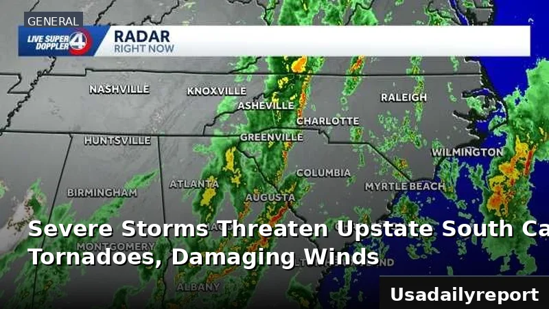
A major weather system is hammering multiple U.S. regions with gale warnings, dangerous winds inland, critical fire danger, and a dramatic cold snap.
Coastal Waters Under Gale Warnings
Boaters on the Gulf Coast are in trouble—gale warnings cover all Louisiana tidal lakes and offshore waters. Waves in these lakes are churning at 4 to 6 feet, and potentially even higher, making boating extremely dangerous. Authorities have urged mariners to avoid navigating in these rough seas until conditions improve.
The brutal conditions have already shut down major roads. On the South Shore, Lakeshore Drive was shut down right next to the seawall, as overlapping waves made the roadway impassable. That's how dangerous this system really is.
Further north, a separate gale warning was active for parts of the Great Lakes region, spanning from Monday morning at 9:00 AM CDT until early Tuesday at 1:00 AM CDT. The alert warned of dangerous winds and waves that could sink boats—typical when a big low-pressure system parks over the Great Lakes.
On the Mid-Atlantic coast, the Chesapeake Bay and its adjoining estuaries north of Smith Point, Virginia, along with the Tidal Potomac River from Key Bridge to Smith Point, Virginia, also experienced a period of severe weather. A gale warning for these waterways expired early Tuesday morning at 1:00 AM EDT. The gale warning expired early Tuesday, but a Small Craft Advisory kicked in and stays through 7 PM EDT. Expect west winds at 15-20 knots, gusting to 30, with 2-4 foot waves. Inexperienced boaters—especially those in small craft—should stay ashore.
Blustery Winds Fuel Fire Danger
Beyond the coastal threats, strong winds are creating dangerous conditions across inland areas. Gusts have been recorded as high as 40 miles per hour in some locations, contributing to a widespread wind advisory that was set to expire by 7:00 PM Tuesday evening in the South Shore region of Louisiana. These brisk winds are expected to persist through the afternoon and into the evening hours, making outdoor activities challenging.
The strong winds plus the drought have pushed fire danger to critical levels. A Red Flag Warning is in effect for areas including the North Shore River Parishes and Bayou Parishes in Louisiana. Any fire that starts will spread fast and burn out of control because of dry brush and these winds. Officials have issued urgent pleas for residents to avoid any outdoor burning today to prevent potentially devastating wildfires.
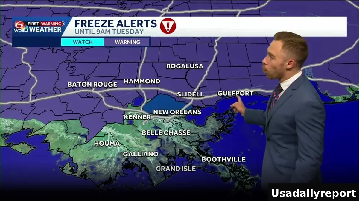
Dramatic Temperature Plunge and Freeze Warnings
The most shocking part of this system is how fast temperatures are plummeting. Many locations are experiencing conditions 25 to 30 degrees Fahrenheit colder than the previous day. New Orleans, for instance, recorded temperatures a staggering 31 degrees lower than at the same hour yesterday. It's a brutal cold snap.
While some areas like Slidell, New Orleans Bay, Saint Louis, Biloxi, and Gulfport were still in the 40s earlier, temperatures were forecast to drop significantly by 5:00 PM, reaching the upper 20s to low 30s. Wind chill will make it feel worse, especially near the water. A freeze warning covers the Northshore—temps could hit the mid-20s if winds drop below 10 mph tonight. Wednesday morning will be cold too, though if winds stay strong, temps won't drop as fast.
Understanding the Broader Weather System
A massive upper-level low spinning over the Great Lakes is causing all this chaos. It's dumping blizzard conditions on the North. Its reach extends hundreds of miles south, pulling cold air and cranking up winds all the way to the Gulf and Mid-Atlantic.
Behind this front, snow and sleet fell as far south as Mississippi, Alabama, and Georgia. Some areas in southern Louisiana even reported graupel, or ice pellets, early Tuesday morning. Skies are clearing in the South, but the gusty winds won't quit—keeping it cold and dangerous through the day.
Winds stay strong all afternoon, gusting harder near water, and it'll stay well below normal all day.