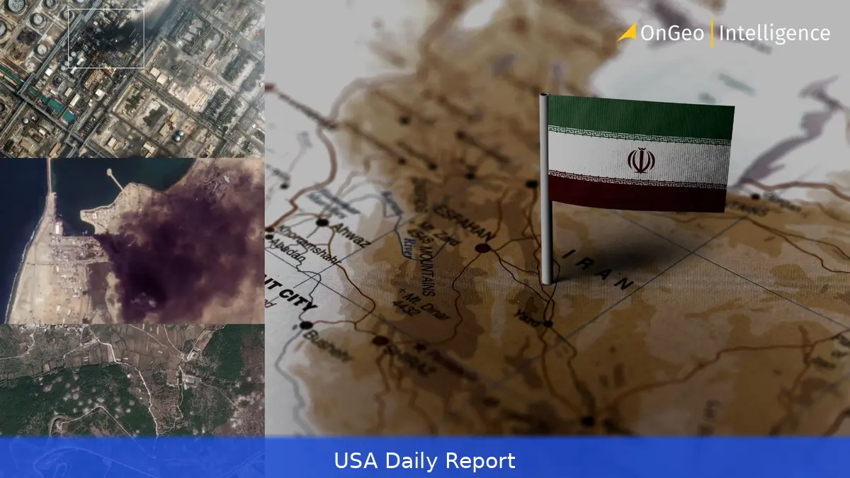
Last month, Iran’s Tehran Times shared what looked like clear satellite evidence of U.S. Military damage in the Gulf. But it was fake—an AI-altered image from an old Google Earth photo, wrongly placed and manipulated. The quick debunking exposed a deeper problem: satellite data, once a neutral source, is now a contested weapon.
Satellite Images as Tools of War and Misinformation
In the digital age, satellite imagery has become a key tool for journalists, analysts, and governments tracking conflicts around the world. But what happens when these images themselves become tools of misinformation? The Tehran Times incident is just one example. The doctored image showed an American radar installation in ruins, but open-source experts quickly identified it as a fake, matching it to a year-old image from Bahrain. Cars were frozen in place, visual glitches repeated—proof that the damage was fabricated.
But this small act of disinformation shows a bigger problem: satellite infrastructure isn’t just watching anymore. It’s becoming a front line, especially in hot spots like the Gulf region where tensions between the U.S., Israel, and Iran are escalating. Satellites and navigation systems that once offered clear, unbiased views are now subject to delays, manipulation, and outright control by state-backed actors.
State Control and Emerging Satellite Powers
The Middle East’s satellite ecosystem is largely dominated by government-operated systems. Countries like the United Arab Emirates, Saudi Arabia, and Qatar run their own geostationary satellites that handle everything from broadcasting to secure communications. These satellites orbit high above the equator, providing stable coverage but also operating under tight government supervision.
Iran has taken steps to build its own satellite capabilities, aiming to reduce reliance on Western systems. Its Paya satellite, launched from Russia’s Vostochny Cosmodrome, is part of a broader push toward independent Earth observation and surveillance.
This expansion signals a growing regional race to control critical space infrastructure, with each player seeking to protect their interests and limit outside visibility.
The Middle East’s satellite communications market is growing fast. Valued at over $4 billion, it’s expected to jump to $5.64 billion by 2031, driven by demand in commercial aviation and defense sectors. Maritime platforms, in particular, already generate nearly a third of the revenue. As the stakes rise, so does the competition for control over who can see what and when.
Access Bottlenecks and Commercial Satellite Fleets
Commercial low-Earth orbit satellites work differently from government ones. Companies like Planet Labs and Maxar provide imagery to paying customers, including news organizations and NGOs. But access isn’t guaranteed. Governments get priority, and commercial users face delays or restrictions, especially during conflicts.
For example, Planet Labs recently announced a two-week delay on releasing imagery of the Middle East. The company said it wasn’t acting under government orders but didn’t give a clear explanation. Such delays make it harder for independent observers to provide timely verification of events on the ground.
Military Movements and Satellite Surveillance
Meanwhile, satellite data is playing a direct role in tracking military deployments. Chinese AI startup MizarVision has been sharing high-res images of U.S. Warships moving toward the Middle East, including the USS Tripoli’s stopover at Diego Garcia in the Indian Ocean. These images highlight how satellite surveillance can reveal real-time military logistics, even as governments try to control the narrative.
The USS Tripoli, carrying over 2,000 Marines and equipped with stealth F-35B fighters, is heading into a conflict zone where satellite coverage is tightly controlled and contested. Its redeployment from the South China Sea to the Gulf reflects shifting U.S. Priorities but also exposes vulnerabilities in America’s regional posture, as missile defenses are pulled back from Asia.
The Growing Threat of Space Debris
Outside the immediate conflict zones, another challenge looms: the rising amount of space debris threatening satellites themselves. NASA-backed research warns that the amount of debris orbiting Earth has hit a tipping point. Collisions between defunct satellites and spent rocket parts create even more fragments, increasing risks for spacecraft and astronauts.
With over 1,000 active satellites and tens of millions of pieces of debris spinning at speeds up to 17,500 mph, the chance of damaging collisions is climbing. Even the International Space Station has had close calls, sometimes forcing the crew to prepare for evacuation. If the geostationary orbit ring, home to many communication satellites, becomes unusable, ground antennas would have to constantly track moving satellites, complicating operations worldwide.
Experts like Donald J. Kessler, former head of NASA’s Orbital Debris Program, warn that the space environment is growing more dangerous. Past events that doubled debris levels wiped out decades of progress in cleaning up orbit. Without new regulations and active debris removal, satellites critical for communication, defense, and observation could face increasing hazards.
Satellite data isn’t just about watching from space anymore. In conflict zones like the Gulf, it’s a weapon, a target, and a contested resource. At the same time, the growing cloud of space junk threatens the entire system. The way countries handle these issues will affect conflicts on Earth and our future in space.


