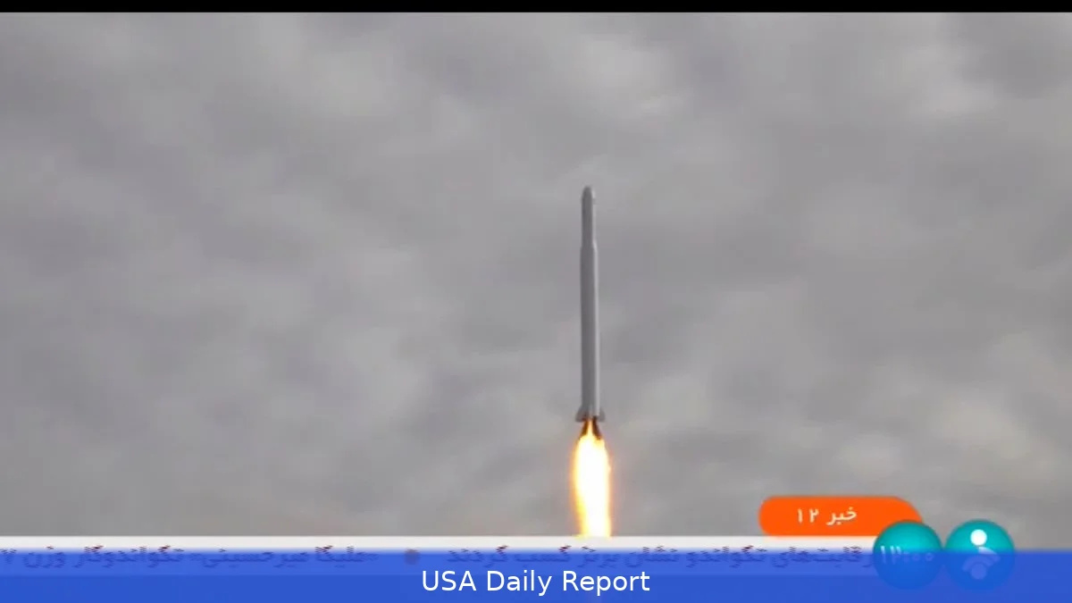
Satellite companies paused recent imagery over Iran. Journalists and open-source investigators suddenly lost a key tool.
Images vanish as online blackout tightens
When images of a downed aircraft and search-and-rescue flights began circulating on Telegram, investigators outside Iran raced to check them. Jake Godin, senior researcher at Bellingcat, says the first signs of the incident showed up on pro-Iranian channels and social platforms. He and other open-source investigators started trying to geolocate the footage — then found themselves missing tools they normally rely on.
Look, the internet inside Iran has been severely restricted, and that’s part of the problem. Civilian uploads to the outside world are limited, leaving fewer raw, on-the-ground clips for verification.
At the same time, two U.S.-based satellite companies curtailed how quickly and widely they share fresh images of the region. Planet delayed a two-week window of its data and then announced it would stop providing recent imagery covering the Middle East. Vantor, another American provider, also limited access. Those companies are known for high-resolution images and frequent passes over Iran and the Persian Gulf — exactly the kind of material open-source investigators and reporters depend on.
Why the imagery was pulled
Companies say the decision followed a request from the U.S. Government. Planet told customers that "the U.S.
Government has requested all satellite imagery providers voluntarily put in place an indefinite withhold of imagery in the designated Area of Interest (AOI)," and that the policy would likely last "through the end of the conflict."
Usually, commercial satellite companies don’t comply voluntarily with government requests like this. This cutback means there are fewer images to compare with videos and photos from the ground. Researchers say that makes verifying location, timing and damage claims harder, and it slows the pace at which independent teams can confirm events.
Who’s enforcing what online
Not just the satellites. Across Gulf states, authorities have detained or arrested large numbers of people for posting videos of strikes, military sites and aftermaths. Israel imposed strict rules about what images its citizens and reporters can post online. Even when satellite images were still around, these national restrictions slowed down the flow of first-hand material.
Thing is, the last decade made open-source verification far more routine. Cheap smartphones, social apps and commercial satellites made it possible to track conflicts from thousands of miles away. Now, multiple brakes are on at once.
Impact on journalism and accountability
The pullback is a setback for newsrooms and rights groups that had come to rely on a mix of user-generated content and commercial imagery to check battlefield claims quickly. Thanks to that mix, groups like Bellingcat could geolocate videos, compare damage with satellite photos, and create timelines without going to the field.
"There is still video, there's still photos that are coming out, there's still some satellite images," Jake Godin said. "But it's becoming harder." His comment shows how layers of access — ground-level uploads, platform distribution and satellite passes — all matter to verification.
Without quick satellite images, reporters and investigators might have to fall back on slower methods like talking to locals, using official statements, or waiting for delayed images that might be outdated. That could mean more uncertainty in early reporting and more space for competing narratives to take hold.
Political reasons and control over the narrative
Censors and governments often seek to shape wartime narratives. Susan Carruthers, historian at the University of Warwick and author of The Media at War, framed the behavior as familiar: states get nervous when wars touch national interests and they try to manage how the fight is reported.
Who benefits from less imagery? Governments worried about operational security have a straightforward case: fewer images can mean fewer clues about troop movements or damage. But reduced transparency also makes it tougher for outside observers to independently verify claims of civilian harm, military targets and the sequence of events.
Balancing operational secrecy with public accountability is now a pressing policy issue. Commercial satellite firms, which sell imagery to media outlets, NGOs and private clients, now also face a political decision when they get government requests. Some firms chose to comply voluntarily; others have resisted similar demands in past conflicts.
Economic ripples for the satellite industry
Companies like Planet and Vantor sell high-frequency, high-resolution imagery to a broad set of customers: news organizations, insurance companies, energy firms, and analysts who track markets and infrastructure. When imagery is withheld, customers lose near-real-time monitoring ability. That can slow damage assessments, delay insurance claims and make corporate risk analysis harder.
Right now, we don't have public numbers on how much revenue the providers might forfeit, or which commercial contracts have been affected. What we do know is that the value proposition of these companies rests on delivering timely images. Holding back images for a long time breaks that promise.
What it means for the United States
For U.S. Audiences, the pullback has several consequences. American journalists and researchers find it harder to verify events in a region that matters to U.S. Security and energy policy. American businesses that monitor supply chains and insurance risks get less data. And the U.S. Government's role in asking for a voluntary pause makes people wonder about balancing intelligence and public transparency.
Some U.S. Officials likely see the move as protecting operations and personnel. Others worry about the reputational cost: when independent verifiers can't check official accounts, skepticism grows. That matters politically — in Congress, in the press, and for the public trying to understand a conflict that could have broader regional effects.
At the same time, fewer independent confirmations could leave the field open for misinformation. If neither satellites nor robust uploads are available to corroborate claims, pundits, adversaries and local actors may offer competing stories that are hard to settle quickly.
Verification networks adapt
Investigators aren't standing still. Open-source groups are turning to alternative sources: lower-resolution imagery that remains public, archival imagery for pattern matching, and other kinds of sensors when available. They're also leaning more on local reporting and sensor data from partners overseas.
But those workarounds take time to develop, and they rarely match the detail and cadence of the commercial satellite feeds that had become routine. That gap matters during fast-moving incidents — the kind that shaped the initial reporting on the aircraft and rescue flights.
Still, the trend has broader implications for how modern conflict gets reported. Access to imagery and ground-level uploads altered reporting norms over the last decade. Pulling those tools back changes how events are checked, how quickly claims are verified, and how much of the story is decided by official sources.
One consequence is practical: journalists may file with more caveats. Another is political: governments may face fewer independent checks. Both outcomes can affect public debate about policy choices related to the region.
Related Articles
- Iran War's Oil Shock Runs Far Deeper Than Prices Show, IEA Chief Warns
- Vance Flies to Pakistan to Start Negotiations Over Iran as Tensions and Ceasefire Claims Hover
- Trump Says He’s ‘Optimistic’ on Iran Truce as Questions Grow Over Hormuz and Next Steps
"States tend to be extremely jittery about how wars are reported when they themselves have some national investment," said Susan Carruthers, historian at the University of Warwick.


